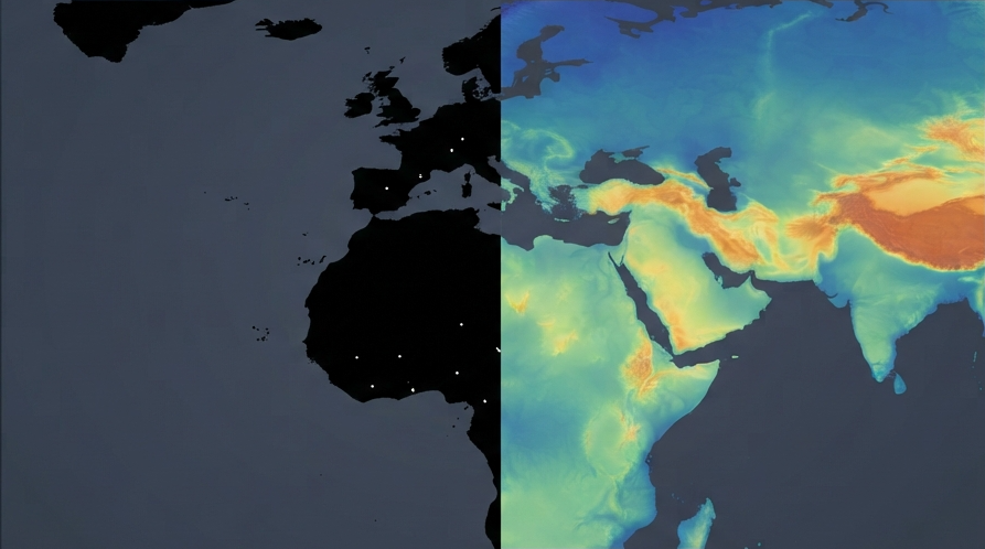
HHussain Fakhruddin3d ago · 6 min readDubai's geospatial accelerator starts coastal AI pilotsDubai's latest space-technology announcement has a useful customer problem attached: helping planners understand how the UAE's coastline and habitats could change before they commit to development decsultanbyte.com
GGet Zero4d ago · 4 min readBuilding a Plantation Tracking System in India with Sentinel-2, Sentinel-1 and Google Earth EngineIndia plants trees on a scale no field team can walk: about 262 crore saplings since June 2024 in the national drive alone. Most plantation tracking systems in India record where a tree was planted. Tgetzero.hashnode.dev
MMorningSep 2 · 5 min readTurning satellite night-light radiance into a Bortle number — and the binning mistake that turned my map blackI build lightpollutionmap.io, a light pollution map you can click anywhere on to get a Bortle class and a rough sky-brightness (SQM) value. The input to all of that is a single raster: NOAA's VIIRS Dalightpollutionmapio.hashnode.dev
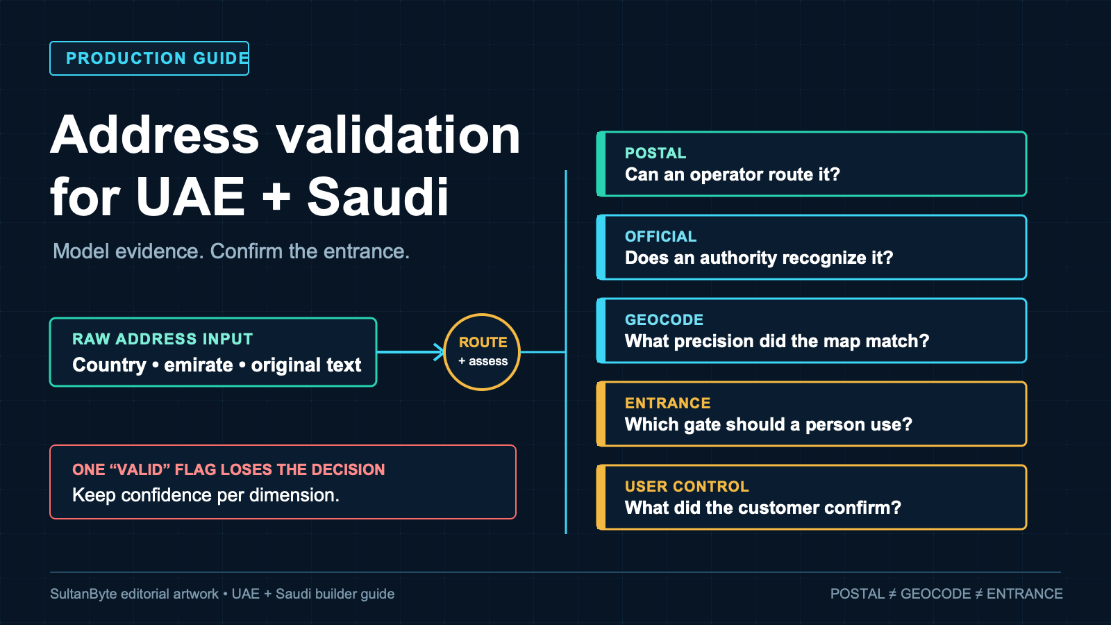
HHussain FakhruddinAug 26 · 9 min readAddress validation for UAE and Saudi products: a production guideA customer pastes an address, the map drops a pin, and the checkout marks it valid. That sequence looks sensible until a driver reaches the wrong gate, a bill loses the submitted legal text, or a Saudsultanbyte.com
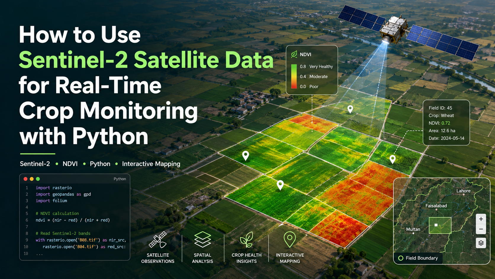
ZZam Zam SatellitesAug 21 · 16 min readHow to Use Sentinel-2 Satellite Data for Real-Time Crop Monitoring with Python“Farmers lose 20% yield to drought. Satellite data can spot it two weeks early.” The exact loss and detection window vary by crop, climate, growth stage and severity of stress, but the underlying oppozamzamgeospatialhashnodedev.hashnode.dev
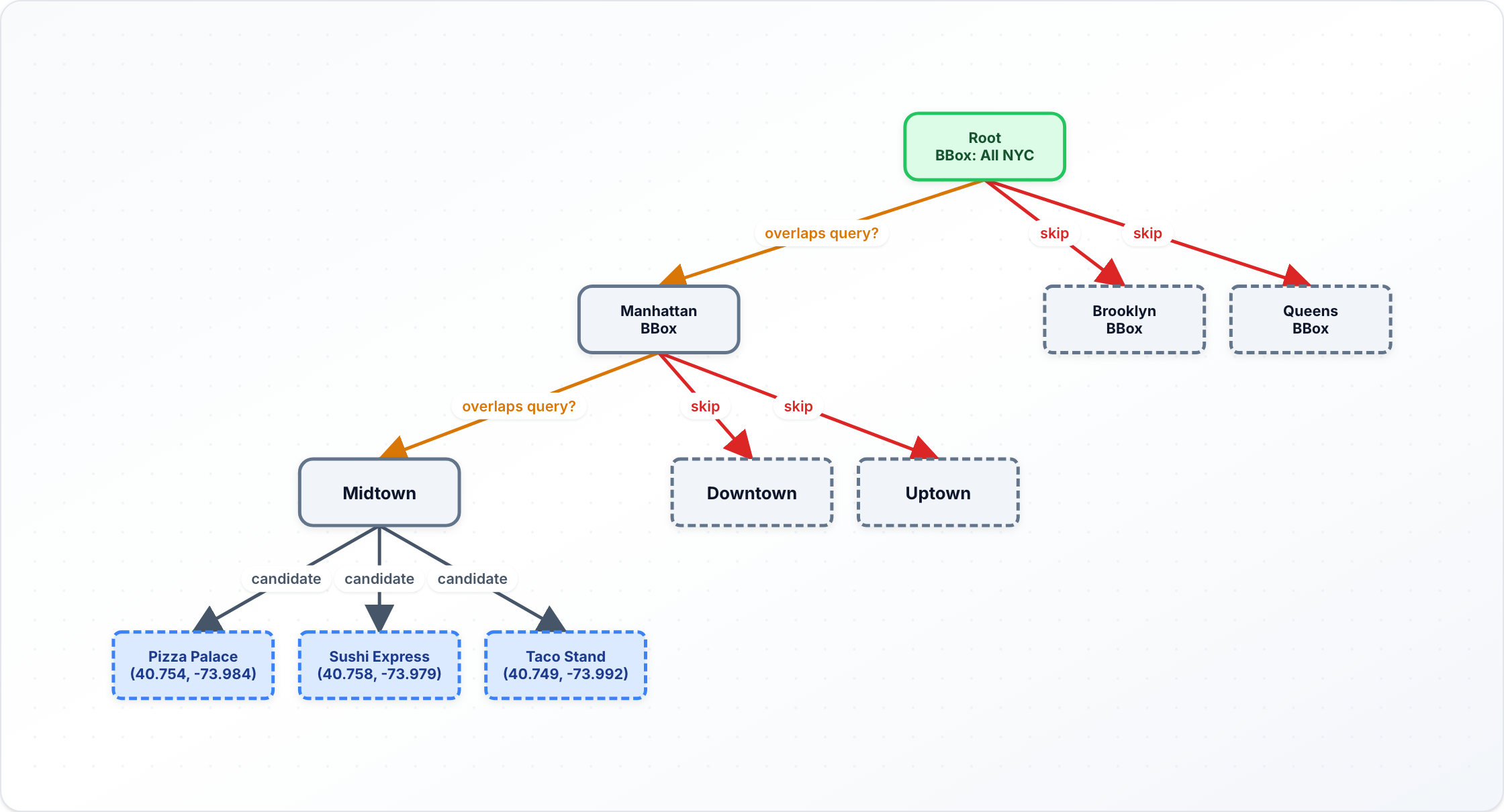
RRONI DASJul 20 · 5 min readDesigning Google Maps: geospatial indexing and routing without melting the serverA mapping app hides two genuinely hard computer science problems behind a clean interface. The first is spatial search: given my location, find the coffee shops, gas stations, or friends near me. The systemdesignacademy.hashnode.dev
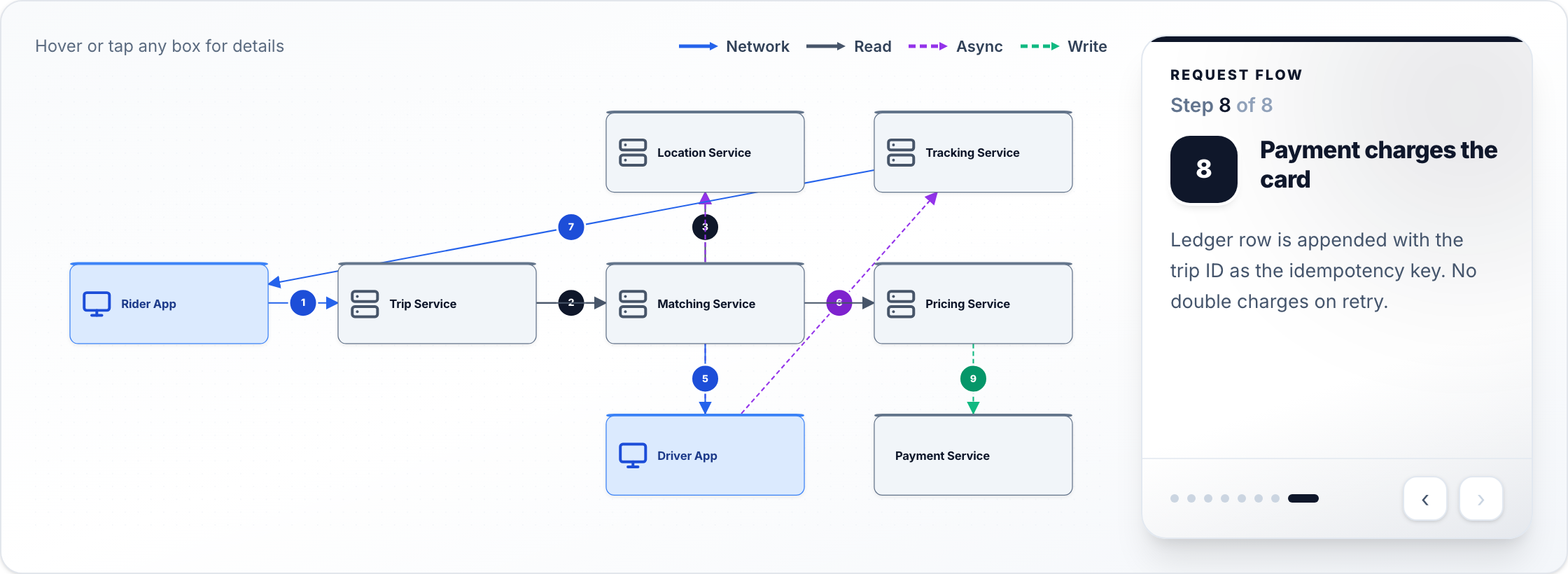
RRONI DASJul 20 · 4 min readDesigning Uber Eats: The Three-Sided Marketplace, Dispatch, and ETAFood delivery looks like ride-hailing with a burger instead of a passenger. It is meaningfully harder, and understanding why is the key to the whole design. The difference comes down to timing: with asystemdesignacademy.hashnode.dev
RRONI DASJul 20 · 5 min readDesigning Google Maps: geospatial indexing and routing without melting the serverA mapping app hides two genuinely hard computer science problems behind a clean interface. The first is spatial search: given my location, find the coffee shops, gas stations, or friends near me. The systemdesignacademy.hashnode.dev
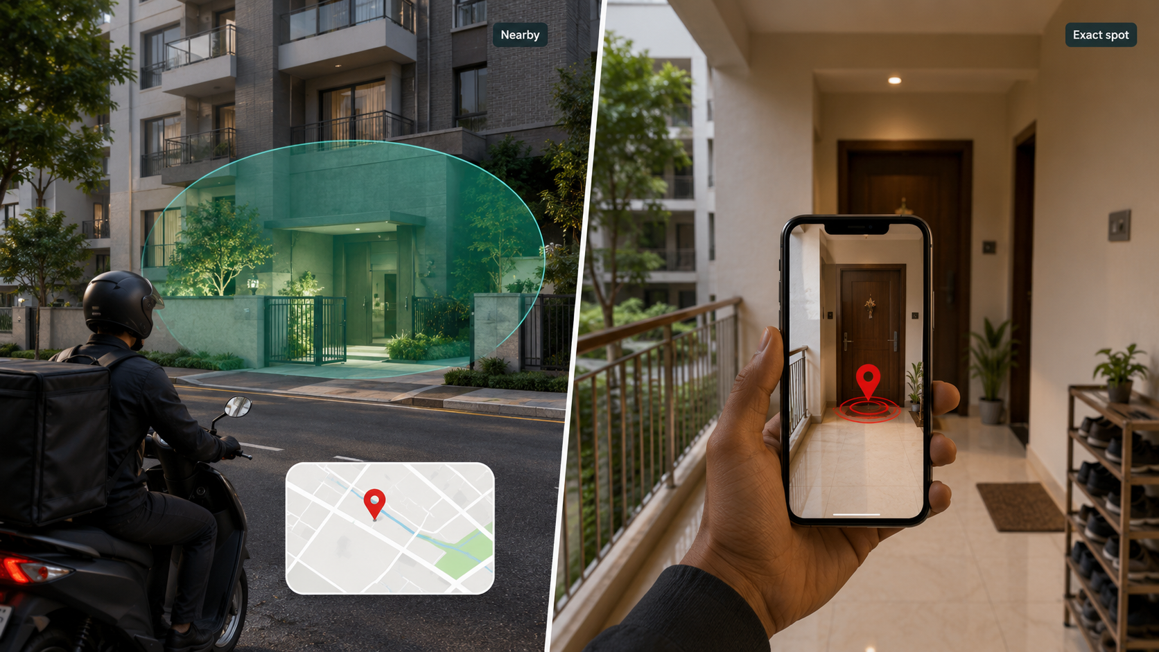
SSushanth JambuJul 5 · 6 min readAdding AR-based exact delivery pins to Android appsI am building Nimpu Spatial to solve a very specific last-mile problem: a normal map pin can get someone near an address, but it often does not tell them the exact gate, entrance, apartment door, picksushanthjambu.hashnode.dev
PPrasanth MadhurapantulaJun 23 · 5 min readHow a map works, Mercator, tiles, and your GPS pinYou drag a map, it loads more map. You drop a pin, it lands exactly where you tapped. This feels like one seamless thing, but underneath, every "slippy map", Google Maps, OpenStreetMap, the map in a t1iwtlp.hashnode.dev